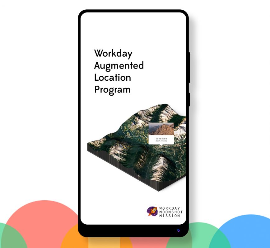
If your employees work at different locations, you may want to visualize those facilities in a map; perhaps with worker population heatmapping to understand employee distribution, or with wayfinding to help your employees find each other and collaborate.
As part of ongoing research on voice and visual interfaces, I developed a chatbot-guided employee location visualization in augmented reality, with Unity, Google ARCore, Google Dialogflow, Cloud Functions, Mapbox and Workday. While I assemble a complete tutorial, feel free to continue reading for a high-level explanation on how I built this app.
With Dialogflow, I developed a series of intents and actions that identify the user’s identity and the name of their target employee. Cloud Functions lets us fulfill this data in a serverless Node.js script to a Workday tenant (over a REST API call) to collect the target employee’s Worker Profile Summary. The worker location is extracted from this summary and stored on a server as a JSON object. Depending on the location’s formatting, a geocoding request is dispatched with the Google Maps API to retrieve latitude and longitude coordinates.

In Unity, with Mapbox and Google ARCore SDKs, I created a project that fetches a rectangular 3D map of the worker’s location and displays it in the scene. I then configured a game object that calculates the incline of the view surface to determine if the surface is flat. Mapbox is platform agnostic, and supports both ARKit and ARCore, but as I own a Pixel 2 phone, I assembled a build with ARCore, ensuring that I enabled ARCore Support in XR settings and the Auto Graphics API.
Here’s a quick demonstration of the application:
*The marker was added in post as an example of a future update.
Stay tuned for the full tutorial!
Geoffrey Momin is an Engineer and Technology Consultant. He is actively researching the application of blockchain, artificial intelligence and conversational interfaces to improve human capital and enterprise management.


